Captain Neville's Map of Derry.
Posted: Sun May 15, 2016 9:44 pm
Ok, this worked once before when my Google-Fu failed to turn up good maps of Limerick so I thought I'd try again...
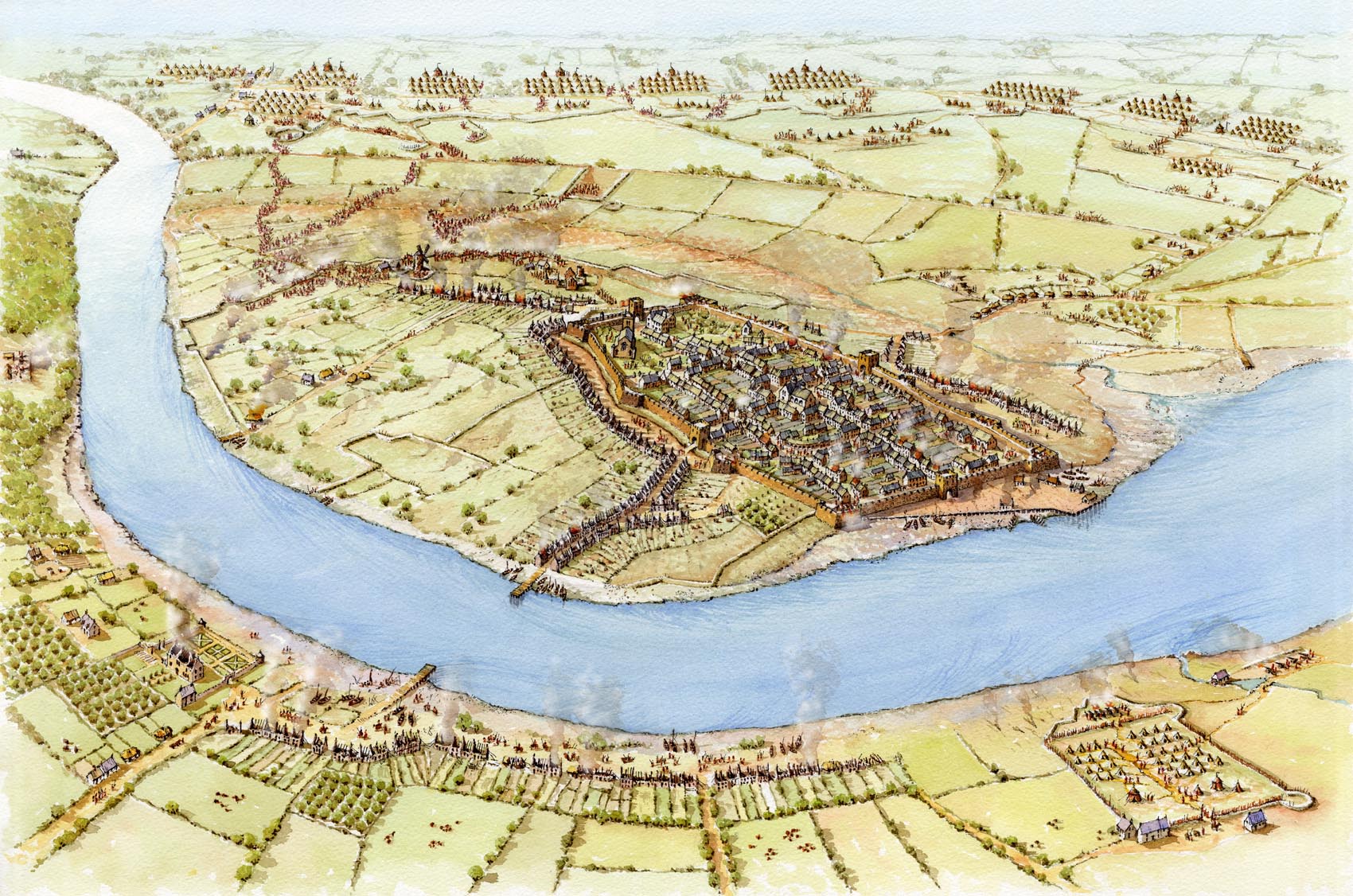
Captain Francis Neville drew a map entitled 'A Survey of the City of Londonderry as it was Beseiged by the Irish Army An:1689'
There is a portion of the map seen [url =http://www.creggancountrypark.com/uploa ... 114816.pdf]here[/url]...
I can find portions of the map, mostly close views of the actually city. I am wondering if anyone has or knows a source for the full map, at a resolution where it is legible.
Thanks, in advance...